


Formed in 2016, Viridian Logic optimises new habitat placement to maximise benefits from nature
Formed in 2016, Viridian Logic optimises new habitat placement to maximise benefits from nature
Formed in 2016, Viridian Logic optimises new habitat placement to maximise benefits from nature

We provide Natural Flood Management & ecosystem service solutions for valuation, planning, and decision support

What we do
Modelling landscapes to understand the benefits that flow from nature leads to better insights for engaging stakeholders and identifying options.

Uniquely Viridian
Hydrologic modelling lets us interpret flow accumulation across landscapes, leading us to effective & efficient nature-based solutions.

Talk to us
We would be fascinated to hear about your plans; we want to help you implement nature in your decision making. Come talk to us!
Services
- Natural flood management
- Landscape planning and policy, from local to regional scales
- Natural capital accounting and economic valuation
- Agricultural engagement and risk reduction
- Biodiversity compensation
- Infrastructure options appraisal
- Urban green infrastructure
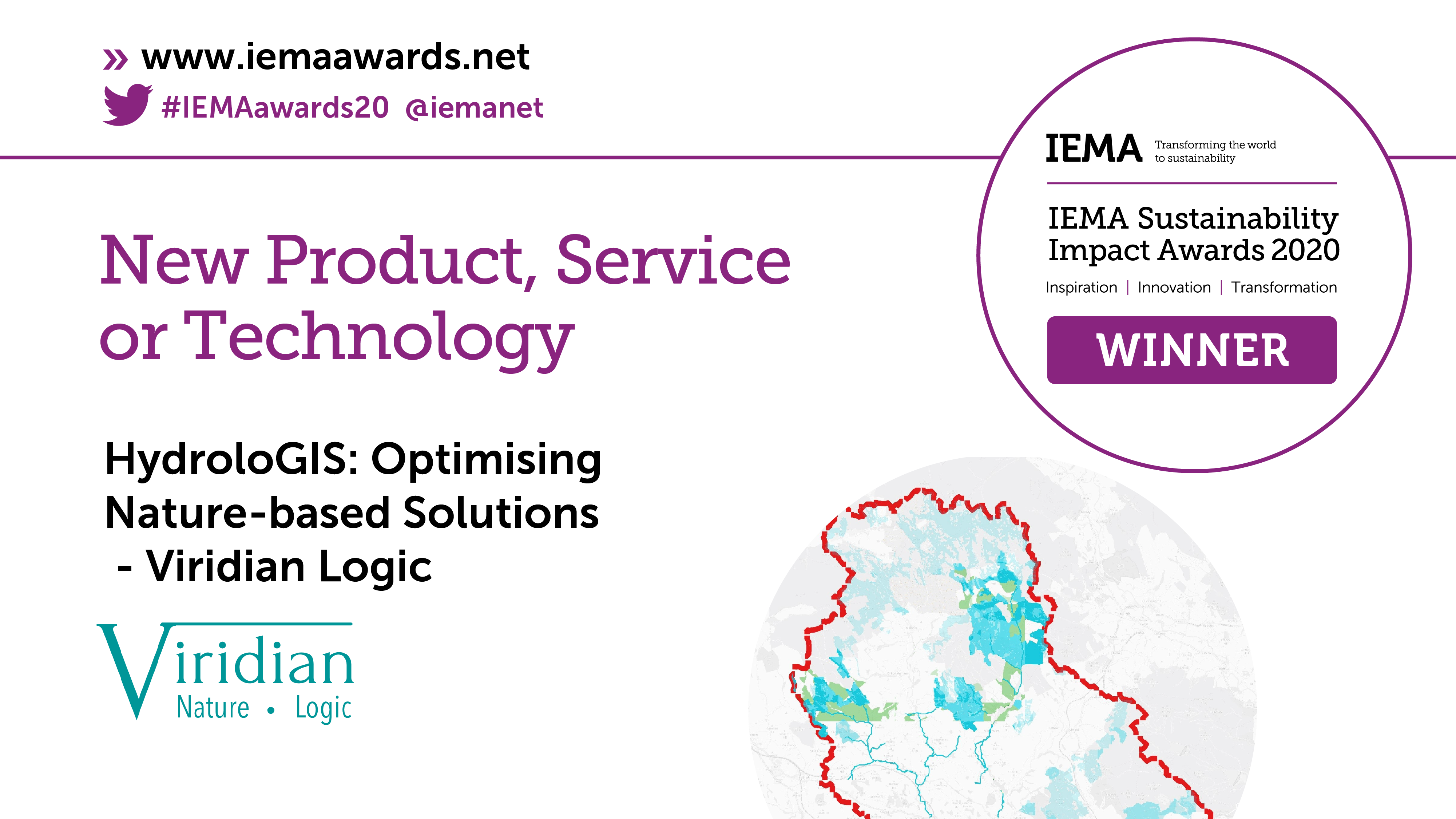
We would like to thank our clients and partners for working with us since 2016, which led to our being awarded the innovation award at the IEMA Sustainability Impact Awards 2020.
The award judges had this to say about our work:
The judges felt HydroloGIS was a highly innovative modelling system that had made great progress in the planning and improvement in natural catchment management – a usually challenging area. What impressed us most was the potential of the product to provide real benefits to a great many stakeholders, including policymakers, local communities, and agricultural and other land-based actors. There was an emphasis on efficient data usage, which was quick and inexpensive, to attract stakeholder engagement and maximise ROI. This means that it has the potential to be replicable, and create benefits across a range of sectors and disciplines making it a highly valuable innovation.

About

Modelling landscape systems to best understand natural capital
Ecosystem services can be split into two distinct categories: place-based services and water-flow services. Place-based services can be assessed adequately using straight-forward GIS data overlays and rule bases, as such benefits accrue where the habitats are located. Water-flow services, on the other hand, deliver benefits downstream from the habitats that provide them. This means that complex, hydrological modelling is necessary to identify optimal solutions. Standard ‘opportunity mapping’ using GIS data and rules will give inefficient, misleading or possibly damaging outputs.
As you might guess, here at Viridian we model ecosystem-aware water-flow solutions mathematically, leading the way in this innovation.
Water-flow services need to be modelled for upstream and downstream interactions across entire landscapes. In the UK, our model ranks each 5m ‘pixel’ of a given river catchment for its current and future ability to mitigate flooding, siltation, mobile diffuse pollution (water soluble and soil adsorbed), and drought.
It is worth noting that those areas with highest potential to provide services (high opportunity) are often not the same as those areas where interventions will make the most difference (high impact); Viridian models this and incorporates it into solution design.
Viridian algorithms model catchments to
- show which parts of the landscape are working hardest to provide the specific benefits as is
- identify gaps where the largest increase in service provision can be achieved
- decide on an optimal habitat type to place in these gaps to maximise the ecosystem service
Alternatively, (1) can be used to show where degradation of existing habitats will lead to the greatest loss in service provision. We can calculate further comparative provision scores for location-based ecosystem services (e.g. carbon storage, air quality, etc). Once a specific ecosystem service (or set of services) has been prioritised, the water-flow and location-specific services are combined, showing co-benefits and trade-offs.


