Twite in the Wessenden Valley
Viridian were asked to identify the best Natural Flood Management options in the Wessenden valley. A complicating feature was the presence of twite: a protected species that only likes to nest in areas away from trees and within access to feeding grounds. It was also important to consider budgetary constraints, since both future modelling and implementation would need to offer best value for stretched resources.
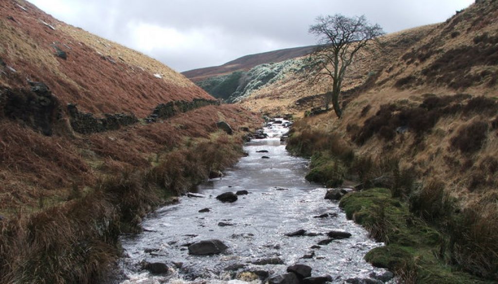
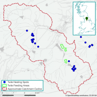
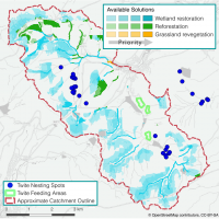
Wessenden Valley is located in West Yorkshire and chiefly consists of peatland and moors in the upland, and grassland and grazing in the lowland. The Wessenden river catchment drains towards the north-east. We see that twite nest along the two main tributaries that join at Marsden, where the river catchment drains.
Having identified the best open-source datasets to use, such as climate, erosivity, and land use, Viridian blended in data on twite locations and habitats produced by local NGOs. These were processed through the flow-modelling and habitat interaction algorithms to understand how the landscape was currently interacting with flood waters, and how best to improve such interactions.
Factoring in the twite nesting and feeding areas within the Viridian framework is quite straight-forward. The Viridian platform works by prioritisation through ranking each pixel (5-by-5 metre area) of land. Where a pixel has ranked highly for intervention, but falls too close to twite habitat, it is simply excluded from the ranking scheme and the next best ranked pixel area takes its place. In this way, Viridian allows quick recalculation of plans when external factors prevent mitigation measures from being taken across the whole catchment.
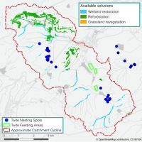
The outputs were maps showing the best new habitats to create and the best places to create them to most reduce flooding for least investment. The maps here are examples: easy to understand and showing exactly what should be done where.
Where to plant/create habitat, such as wetland (using actions such as leaky debris dams) and woodland, to most reduce flooding in the valley. This solution was calculated allowing a relatively conservative ranking threshold, which correlates to a leaner investment. The new woodland is sited mainly on existing grassland areas in the north; the wetland partially involves grip blocking to re-wet peat.
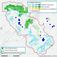
As the prioritisation is done by a ranking mechanism (ensuring results are very robust) it is possible to explore the next best areas for service provision. This demonstrates how it is possible to create an optimised ecosystem service solution when some areas become excluded from calculation. Here we see the woodland extended in the upper and central regions, whilst upland peatland re-wetting becomes the next best option in the uplands around the rest of the catchment.
This map shows prioritisation for the best locations for habitat creation to provide a basket of ecosystem services: erosion control, flood mitigation, diffuse pollution reduction and groundwater recharge (baseflow to streams). Here the emphasis is much more on re-wetting peat and wetland creation upstream from where the river drains out of the catchment, demonstrating the multiple benefits of peatland restoration over woodland planting.
