Windrush: Catchment-Scale Planning
The Berks Bucks and Oxon Wildlife Trust (BBOWT) asked Viridian to model the entire Windrush catchment for a basket of ecosystem services. As a wildlife trust, they were particularly interested in better understanding where to focus their efforts on the ground. They are using Viridian’s analyses to assist with planning, inform stakeholder engagement and influence policy formation.
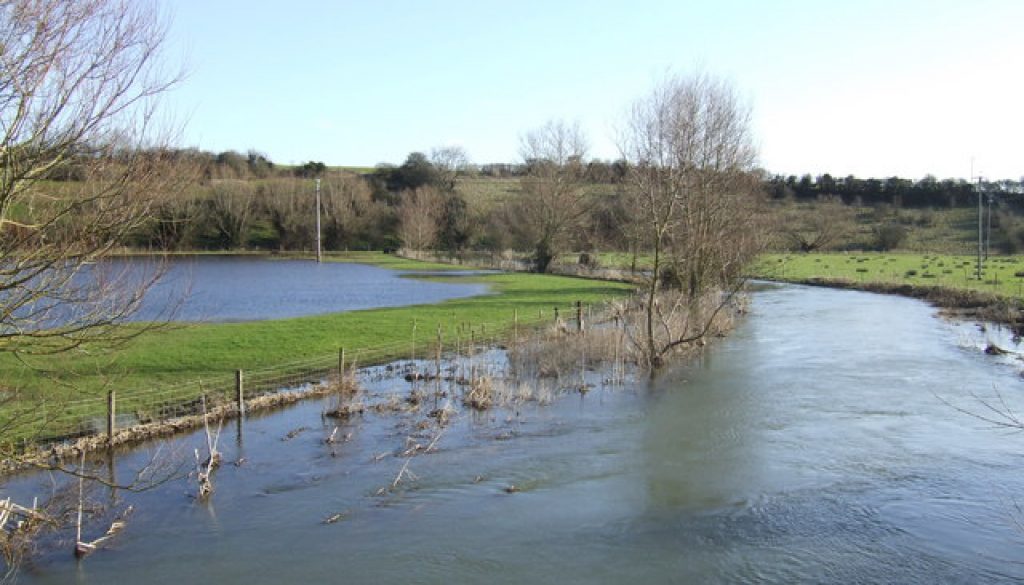
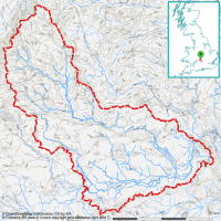
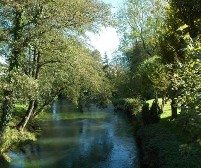
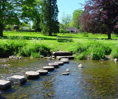
The Windrush flows through Oxfordshire and Gloucestershire, surrounded by a lowland catchment of approximately 750 km2. The river drains towards the lowland in the southeast, flowing toward Oxford. The surrounding land is principally occupied by pastures and non-irrigated arable land interspersed with woodland and urbanised land.
Viridian used largely open source data – such as rainfall, land use and geology – to rank every 5m cell across the catchment for how well it was currently providing flooding, diffuse pollution, erosion and groundwater services. The model then assessed entire flow paths to understand where making interventions would most improve the provision of these services. Finally, the model analysed which habitat was best to create at each location.
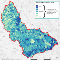
This map describes the current provision of flood mitigation services provided by the landscape. This is analysed along entire flow paths, and includes the effects of topography, geology and vegetation (amongst others). It shows how well the landscape is working to resist the flow of water into the river system, offset by the precipitation the landscape receives.
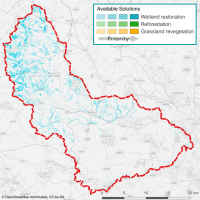
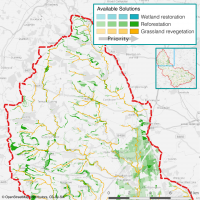
This map shows the most effective new habitats to create in the most efficient locations to reduce flooding in the catchment. The darkest colours show the best of any possible interventions in the catchment; the paler colours show the subsequent ‘next best’ places to plant. In this catchment, creating swales, ponds and leaky dams are the best options to reduce the magnitude of the downstream river flow, and should be generally placed upstream, in the north west of the catchment. Reducing the flow reaching the river network in these locations, means the cumulative flow reaching downstream areas is reduced the most for the least land-use change by area.
This map is a cutout of a northern portion of the Windrush catchment, showing solutions that offer the ‘best bang for buck’ in reducing soil adsorbed, diffuse pollution (such as phosphates) entering the river. This demonstrates how the Viridian system can be reconfigured to optimise reduction of other river pollutants by calculating how pollutants are transported across the landscape. Creating natural grassland along riparian zones (river banks) is the best solution here, but planting riparian woodland would also be fairly effective, should these be more desirable for external reasons (such as grant availability).
